Waruno Mahdiwhere I was for the memorial conference on Renward Brandstetter’s 150th birthday.
|
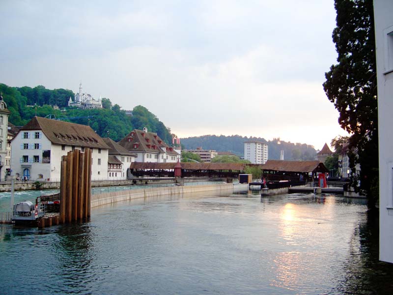
town north bank, seen from the Rathaus-Steg. |
|
|
| |||
| |||||
|
|

|
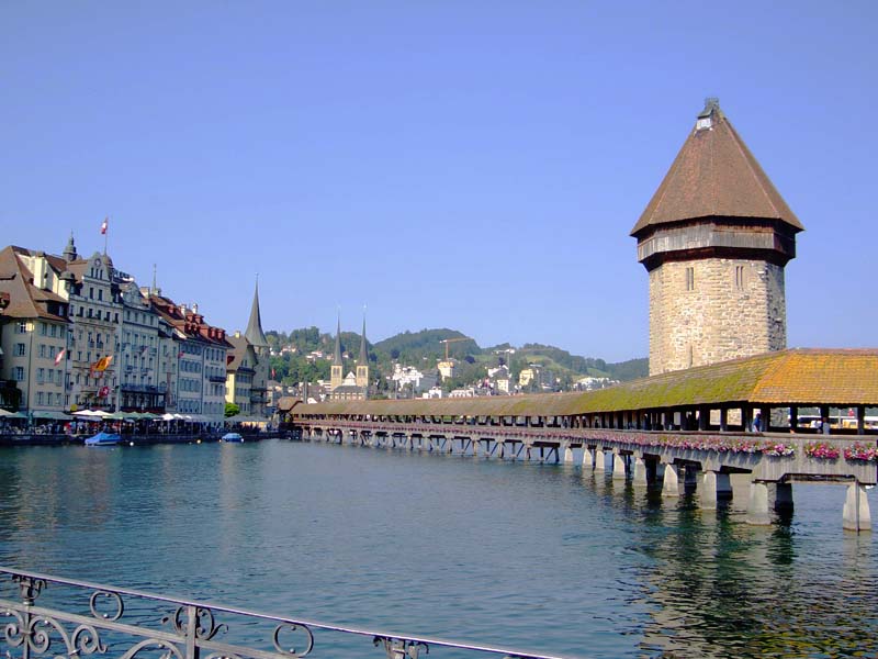
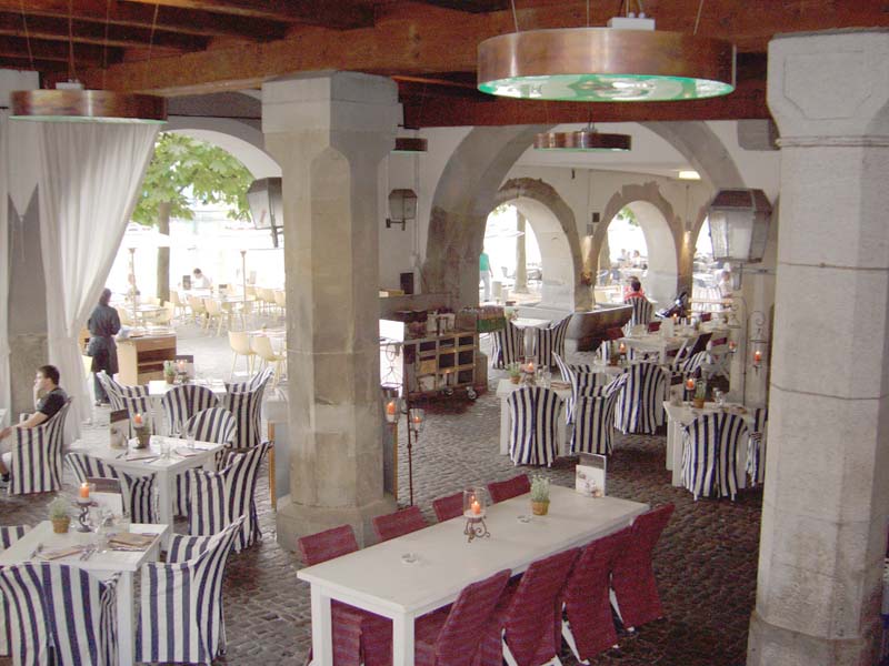
| The covered Speuerbrücke (‘wheat bridge’) crossing over the artificial rapids (left of the mid river partition) and parallel sluice (on the right). That apparition of a white fairy-tale castle on the left hill top is the Chateau Gütsch — it’s real. | No, I did not accidentally insert a picture from Venice. This arcade restaurant looking out on the riverside promenade is the Restaurant Rathaus. It is, however, not in the city hall, but next door to the west of it. | View from the crossing of Löwenstraße (left-right)
and Dreilindenstraße (forwards) to the Hofkirche (‘collegiate church’).
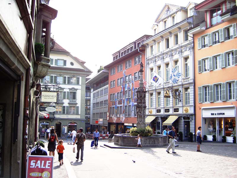
I was simply charmed by the traditional architecture of these in-town houses. (The conference site was two blocks to the left). |
|
| |
| ||||
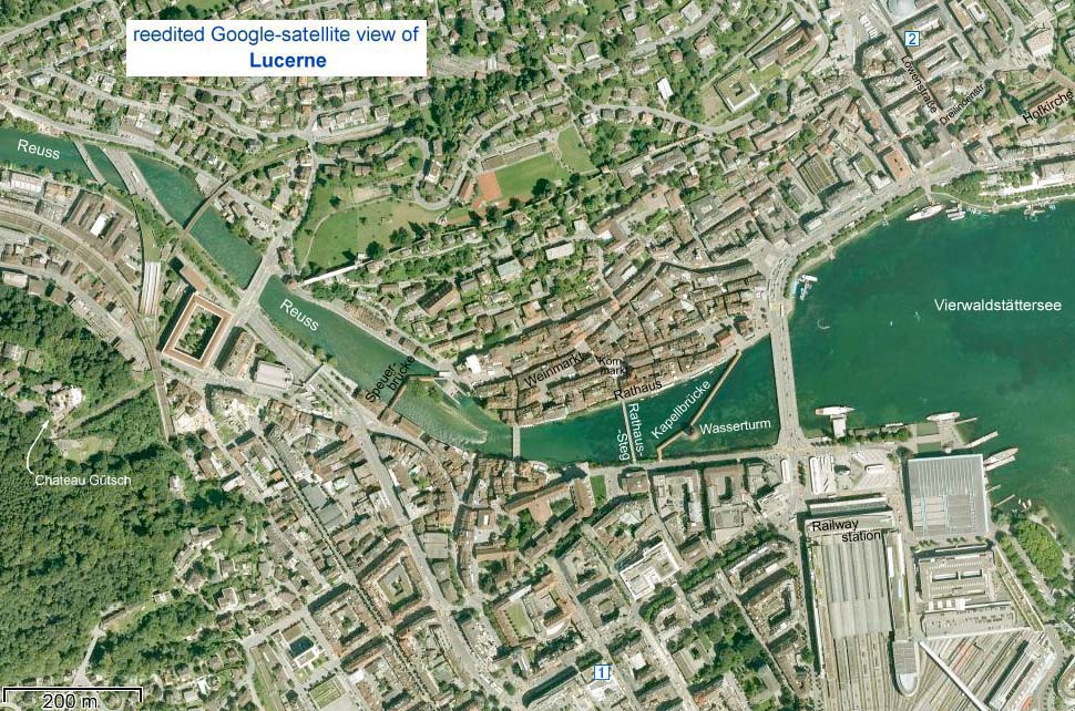
| Everything was within pleasant walking distance, so we never used the trolleybus or taxi. Locations of the photographs are indicated on the satellite-view map of Lucerne above. The “globalized” sidewalk is west (left) of the railway-station. | We stayed at Hotel Astoria at the mid bottom of the
map ( );
the conference was in the “Union Lecture Halls” on the Löwenstraße at the top right
of the map ( );
the conference was in the “Union Lecture Halls” on the Löwenstraße at the top right
of the map ( ). ).
|
|||